GRACE-FO Science Data System and Mission Operation
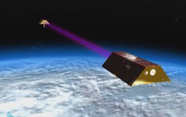
To observe mass distribution and mass transport in System Earth, which are closely linked to climate-relevant changes on our planet, we develop, operate and analyse together with German industry and space agencies DLR, NASA or ESA specially designed gravity field satellite missions such as GRACE or GRACE-FO.
Realization of Future Gravity Missions
In order to extend the existing time series of mass distribution and mass transport in the Earth system beyond GRACE-FO and to significantly increase the accuracy as well as the temporal and spatial resolution of the monthly gravity field models, we are currently realising the GRACE-C (Continuity) mission with DLR and NASA and have been commissioned by ESA to develop key elements of the data processing segment of a future Next Generation Gravity Mission.
Terrestrial Gravimetry
Temporal variations of the gravity acceleration are induced by mass redistributions and deformations in the entire system Earth, the Earth's rotation and the masses of the Sun and Moon. We use superconducting gravimeters to observe the gravity acceleration with highest precision. This enables us to quantify a wide range of geophysical and hydrological processes.
Regional and global static gravity field determination
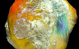
Global gravity field models describe the Earth's gravitational field or figure as a whole. The highest spatial resolution is achieved by combining satellite data with ground measurements and additional topographical forward modelling.
Satellite Laser Ranging
Satellite Laser Ranging (SLR) is one of the four space geodetic techniques. We operate a SLR ground station in Potsdam within the worldwide network of the International Laser Ranging Service (ILRS) and are one of the official SLR analysis centers of the ILRS.
Precise Orbit Determination
The geometric and dynamic shape of the Earth (coordinates of ground stations or spherical harmonic coefficients of the gravity field) and its orientation in space (Earth orientation parameters) can be derived from the high-precision observation of the dynamics of satellite orbits.
From the ocean to the Coast
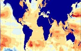
Our main focus is on the observation and analysis of sea level changes in the ocean and in coastal regions. We cover very fast processes, such as tsunamis, as well as very slow ones, such as sea level rise. We use various geodetic methods to analyse these complex phenomena, such as radar altimetry, tide gauges , buoys or GNSS measurements.
Water in Central Asia
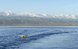
A focus of our research in Central Asia is the monitoring and understanding of water resources and their changes. We use radar altimetry to observe the inland water cycle. Here we also use our network of climate stations and our Observatory at Lake Issyk Kul in Kyrgyzstan.


![[Translate to English:] The picture shows the laser station in night mode.](/fileadmin/_processed_/7/3/csm_laserstation_2_2eaec2565c.jpeg)


