

Seismic array installed in earthquake zone near Santorini
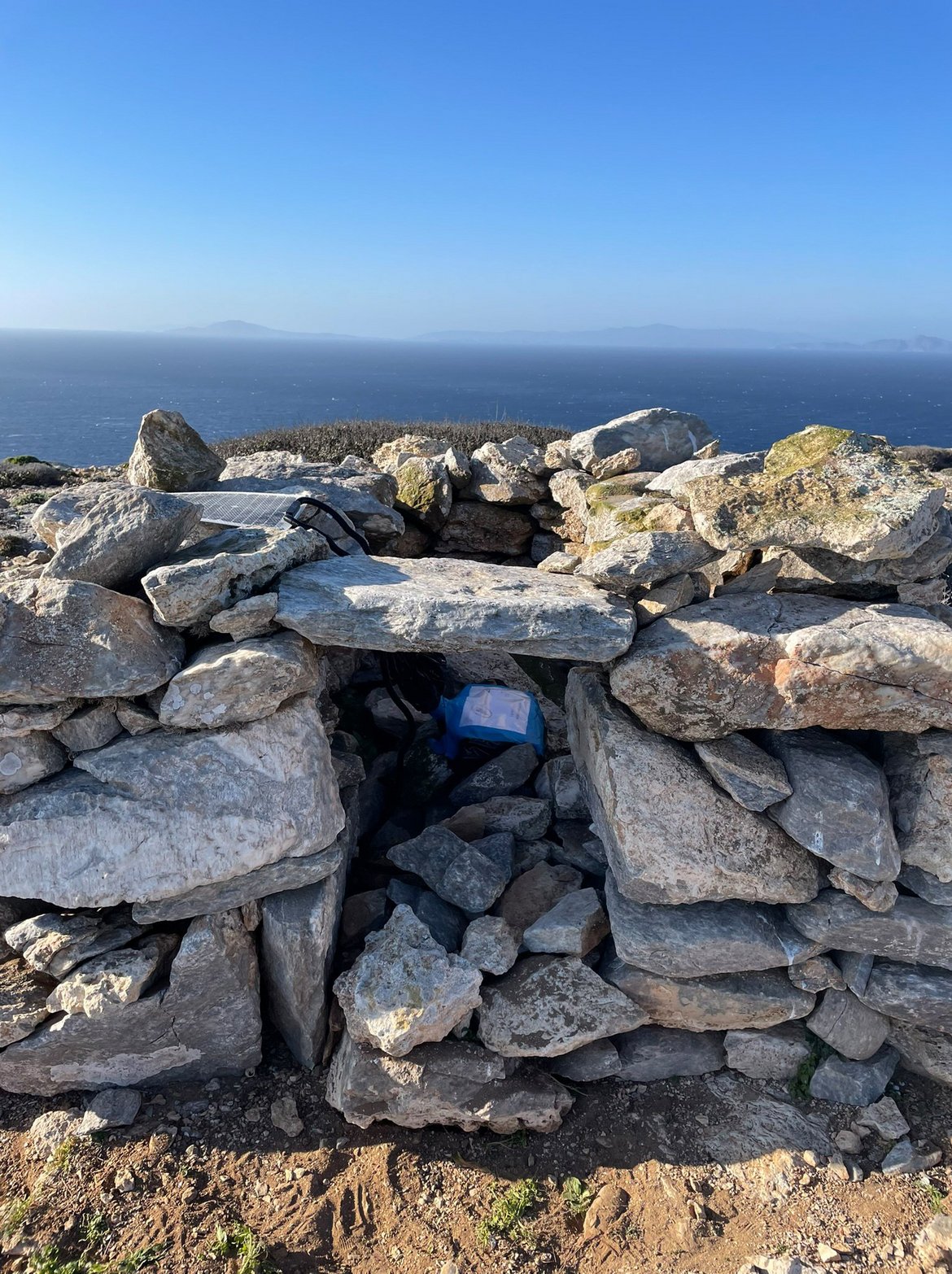
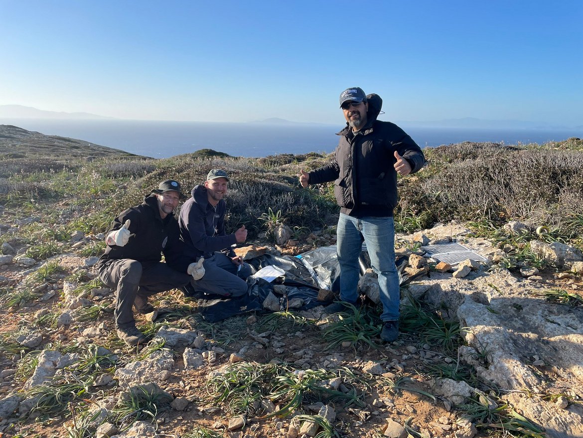
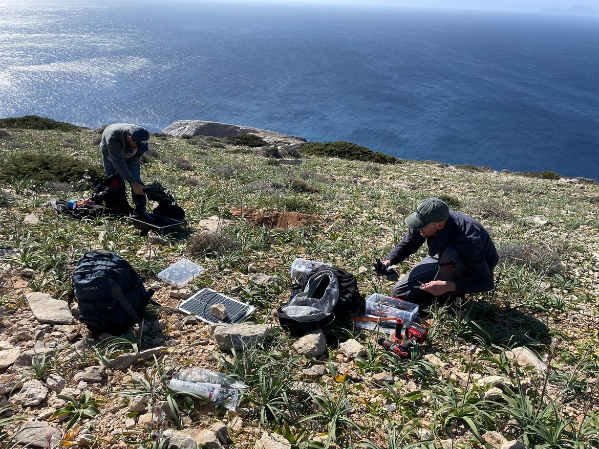
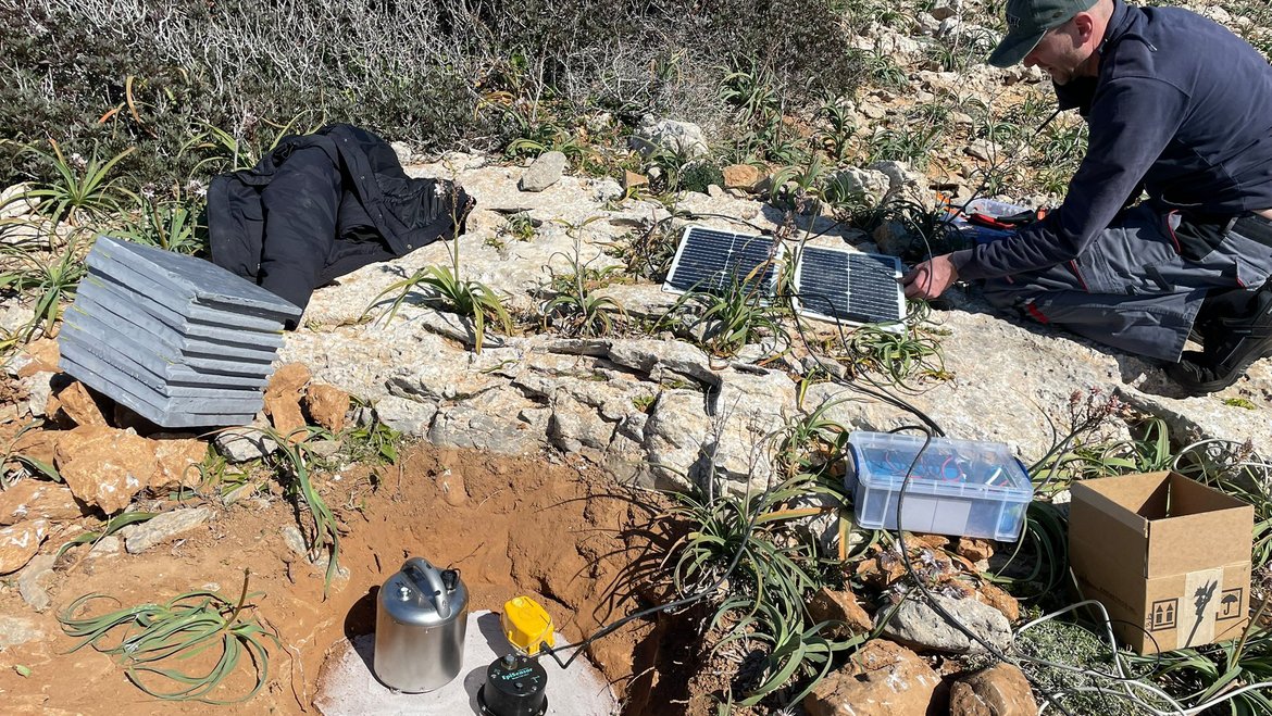
A team from the GFZ Helmholtz Centre for Geosciences has installed an array of seismometers and other sensors on the uninhabited island of Anydros in the southern Aegean Sea. Anydros is located directly above the currently active zone near Santorini, which has experienced thousands of earthquakes in recent weeks. The aim is to be able to detect and locate small earthquakes there using so-called array methods. The team from the GFZ section “Geomechanics and Scientific Drilling” also wants to detect slow earthquakes – so-called slow-slip events – which indicate the movement of magma. The measuring stations were set up in cooperation with the National Observatory of Athens (NOA). In addition, a new GPS station has been set up on Anydros to record the island's current accelerated uplift even more accurately. Since the island of Anydros is difficult to access, the stations are equipped with solar panels to make them self-sufficient. In a second step, which is planned for Spring, the equipment will be upgraded and will then transmit data in real time to Athens and Potsdam.
Is a magma chamber filling up right now?
The South Aegean in Greece is tectonically and volcanically very active. This is because the African tectonic plate slides under Europe south of Crete. This creates tension in the Aegean tectonic plate, which repeatedly causes earthquakes, some of them strong. In addition, magma rises towards the surface, leading to the formation of volcanoes along the so-called Hellenic volcanic arc spanning between Athens and the western coast of Türkiye. Santorini and the surrounding islands of the Cyclades islands group are located in the centre of this arc and are a popular tourist destination. They are therefore the focus and of particular public attention. For several months, the ground has been shaking more intensely there, and some islands have been evacuated as a precaution due to the possibility of a pending earthquake or eruptions, and schools have been closed.
The current seismically active zone is concentrated in the area between Santorini and Amorgos, where two strong earthquakes with magnitudes over 7 occurred within a few minutes in 1956, causing a local tsunami with a wave height of about 30 meters on Amorgos. The former capital of Santorini, Oia, was destroyed.
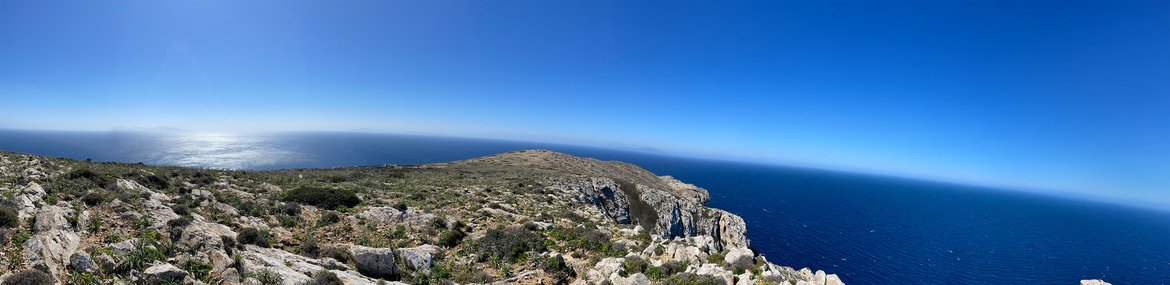
The uninhabited rocky island of Anydros is located directly in the current epicentral area. It was and is still being pushed upwards along a so-called horst structure and tilted in the process. Local extension there provides pathways for Magma rising upwards along zones of crustal weakness– a possible explanation for the current seismic crisis. The earthquakes indicate the filling of a major magma chamber at a depth of several kilometres. While the earthquake activity is currently decreasing, small earthquakes will continue to occur, which cannot be adequately detected by the existing seismic stations of the Greek seismic network on the surrounding islands.
High-precision location of small earthquakes
In order to be able to measure these small earthquakes with so-called array methods and in the immediate vicinity, a team from the GFZ section “Geomechanics and Scientific Drilling” has now set up an array of different seismometers and deformation sensors on Anydros, directly above the active zone. The aim is to detect not only small volcanic earthquakes but also slow earthquakes (“slow-slip events”), which indicate movement of magma. The measuring stations were set up in cooperation with the National Observatory of Athens (NOA). At the same time, the NOA colleagues also installed a GPS station on Anydros. This is intended to record the currently accelerated uplifting of the island with increased precision.
Prof. Dr. Marco Bohnhoff, project leader at the GFZ, explains: “By placing several high-frequency seismometers, we can localize the microearthquakes at depth using beamforming approaching, almost like using an antenna, and determine whether the seismicity and thus the magma continues to rise towards the surface and thus possibly lead to the formation of new volcanoes, or whether the magma remains stationary at depth. Lateral movement in the direction of Santorini is also possible and was observed in mid-February.” This information is of great importance for the Greek authorities, so that they can update hazard scenarios if necessary and provide better warnings to the population.
Bohnhoff continues: “In addition, the multi-sensor station set up in the middle of the island allows us to monitor the entire frequency spectrum of deformation signals, providing an unprecedented range directly on top of the current seismic crisis.”

