Climate change, changes of land use and of land surface properties, and the human use of water resources have a massive impact on the water cycle. Changes of the water cycle manifest themselves as changes of water fluxes such as evapotranspiration and runoff, and of water storage in glaciers, surface water bodies and in groundwater. They may imply water scarcity and a modified hazard of hydrological extreme events.
The objective of our work is an improved quantification of the water cycle and of its spatio-temporal variations. To this end, we combine the process understanding at small temporal and spatial scales with large-scale applications for river basins up to the global scale. Data of ground- and satellite-based monitoring systems are integrated with hydrological models in a multi-criterial validation and calibration framework to improve the prognostic capacity of the models.
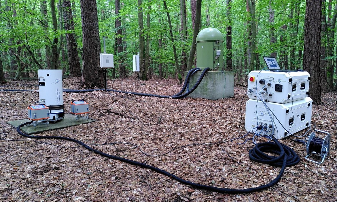
A particular focus is on developing geodetic methods for hydrological applications. In particular, this refers to assessing changes of water storage by terrestrial gravimetry, satellite gravimetry (GRACE, GRACE-FollowOn and future missions), and GNSS reflectometry. We develop correponding data publications and data services for the Essential Climate Variables (ECV) terrestrial water storage (TWS) and groundwater.