Imaging recent geodynamic processes around the Laacher See, Eifel, with (R)MT | EIFEL
Similar to the Eger Rift, the region surrounding the Laacher See in the Eifel exhibits CO2 degassing and is currently monitored by several fluid monitoring and seismological stations.
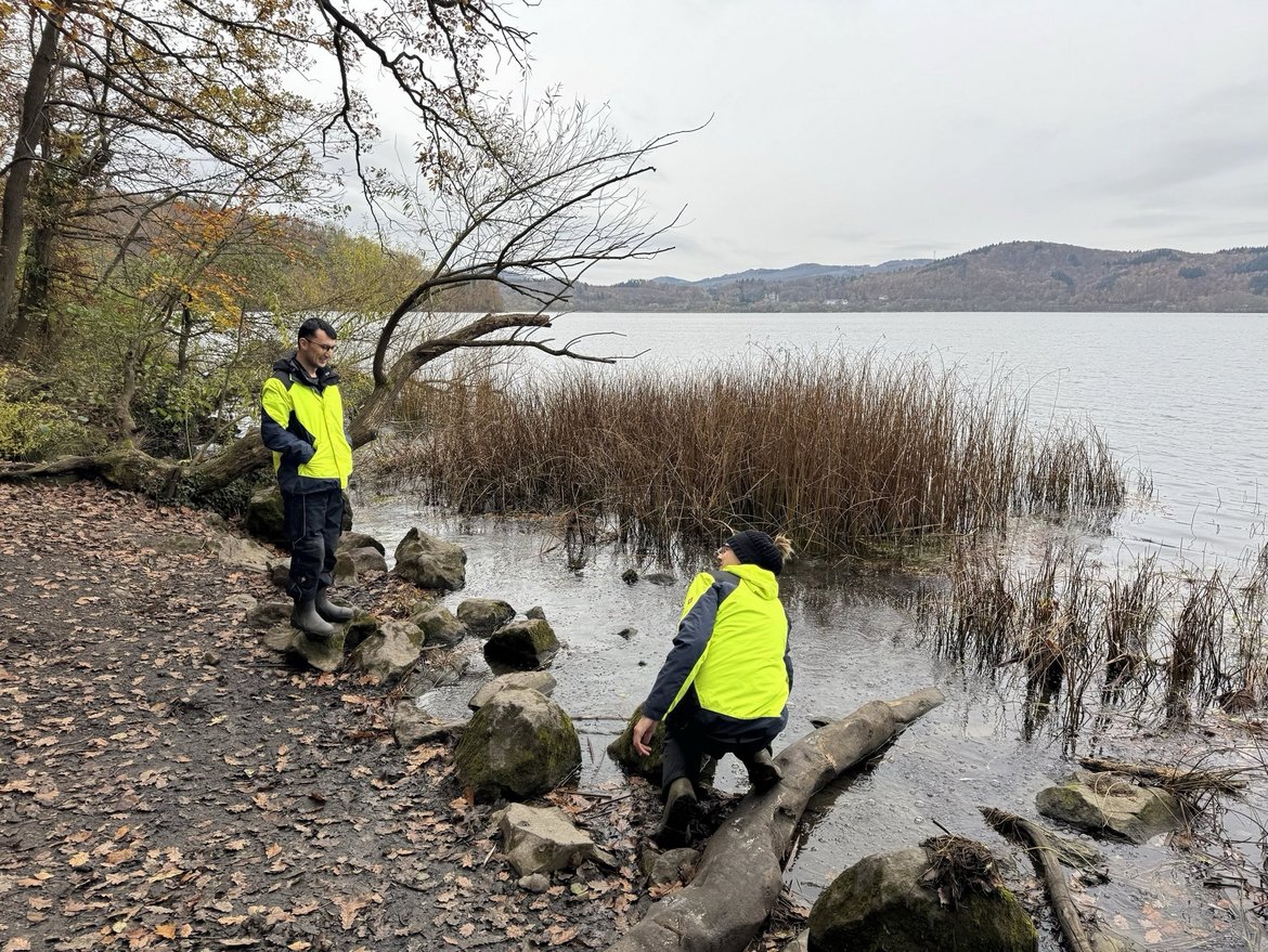
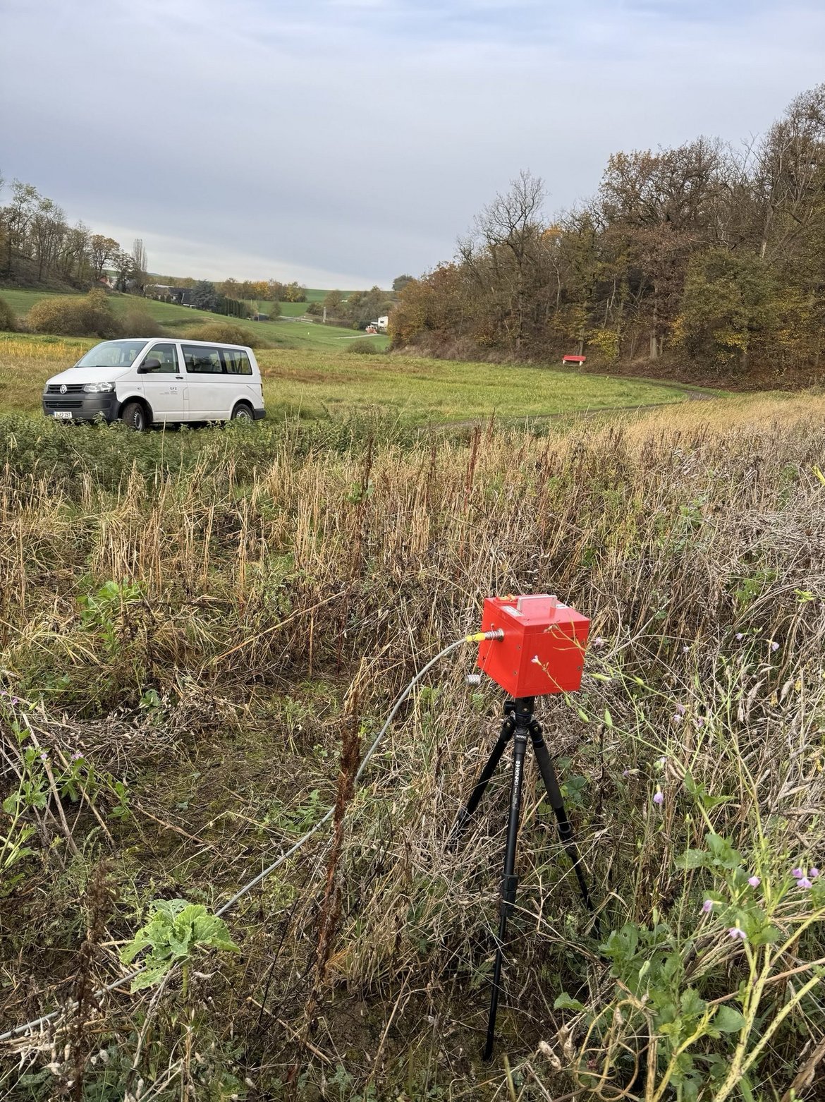
For a future inclusion of EM monitoring at the Laacher See, a baseline study is necessary to obtain the electrical conductivity of the upper 100 m. In 2024, RMT measurements were carried out at Pferdebrunnen north of the Laacher See and right at the Eastern shore of the Laacher See, where CO2 also degasses off-shore. Currently, the RMT data are processed before 2D and 3D inversions are applied to obtain detailed images of the subsurface.
These shallow baseline studies perfectly supplement a DFG proposal (“Geophysical site characterization in the vicinity of the Laacher See to image deep reaching fluid pathways in the Eifel (Germany) using Magnetotellurics” (LaSEMI); WE 2938/18-1) which is currently under review.
Intraplate volcanic activity occurred in the Eifel Volcanic Field and a period of Quaternary volcanism continued until 11, 000 yr, including the explosive eruption of Laacher See (LSV) in the Eastern part. The observed volcanic activity beneath Laacher See manifests in several gas seeps in the lake and its surrounding shore, emitting CO2 of magmatic origin. The existence of low seismic velocity zones in the mantle and crust as well as a mantle plume have been hypothesized. Recently, a maximum uplift of 1mm/yr estimated from a GPS network as well as deep low-frequency earthquakes were reported - both hinting at magmatic activity. Such features can be mapped by the electrical conductivity, as this parameter is very sensitive to fluids, magma and volatile compounds. Motivated by this, the magnetotelluric method (MT) was successfully applied to another Variscan massif, the Bohemian Massif showing conductive fluid pathways beneath the mineral spas and the mofette fields.
To complement the ongoing seismic Large-N Eifel Experiment, a broad-band MT array experiment centred at the LSV using broad-band full MT stations accompanied by telluric stations is planned. With this geophysical site characterization, we would like to image the electrical conductivity distribution in the East volcanic field throughout the crust and parts of the lithosphere for the first time, focusing on the structure below the Laacher See.
Time Frame
- 2024 - 2028
Funding
- DFG
- GFZ
Principal Investigators
Personnel
Cooperations
- Mehrere Sektionen innerhalb des GFZ